Search Results for geographic data

We found 53 results for you related to 'geographic data'.

Featured Topics
Card image
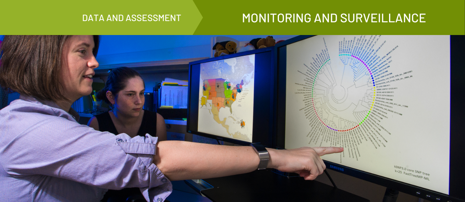
Monitoring and Surveillance

Card image
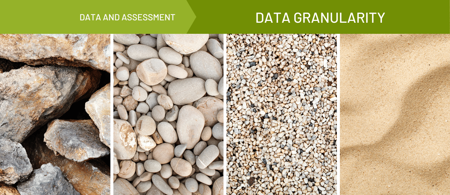
Data Granularity

Card image
Administrative Data

Search Results

A screen grab of Cancer Statistics Center dataset
Cancer Statistics Center
Dataset
Brought to you by American Cancer Society
Photo of a person's hand on a rock with text that reads
ExploreMoHealth: An Example of How One State is Taking Health Data to the Next Level
Story - Original
Brought to you by Community Commons
Published on 04/10/2018
Mapping and Data Tools Library
Library
Brought to you by Community Commons
Screen grab of Missouri Map Room tool
Missouri Map Room
Tool
Brought to you by CARES
The Partnership for a Healthier America logo, featuring white block text that reads
Partner Spotlight: Partnership for a Healthier America’s Place-Based Mapping Tool
Story - Original
Brought to you by Community Commons
Published on 08/15/2017
Screen grab of County Business Patterns
County Business Patterns
Dataset
Brought to you by Census Bureau
Advancing Geographic Equity Using Spatial Analysis
Resource - Webinar
Brought to you by All In
A screen grab of PLACES Interactive Map tool
PLACES Interactive Map
Tool - Data/mapping Tool
Brought to you by CDC
Graphic of a city skyline, with buildings in every color of the rainbow. Text below reads
500 Cities Project: Local Data for Better Health
Story - Original
Brought to you by Community Commons
Published on 02/09/2017
Filter by Type
  • (18) Story
  • (14) Tool
  • (10) Resource
  • (5) Dataset
  • (5) Topic
  • (1) Datasource
Filter by Category
  • (13) CC Original
  • (8) Data/ Mapping Tool
  • (4) Data & Assessment
  • (3) Written
  • (2) Model Policy
  • (1) Assessment
  • (1) Book
  • (1) Data Bank/ Repository
  • (1) Quality Of Life

 Recommended Resources


Bold letters
Maps and Data
Story - Original