Home
Maps & Data
Priority Populations
Connect & Share
Discover
COVID-19
Economy
Education
Environment
Equity
Food
Health
Housing
Mental Health
Transportation
About Us
Suggest a Resource
Help & Support
Search Results for Transportation
We found
703
results for you related to '
Transportation
'.
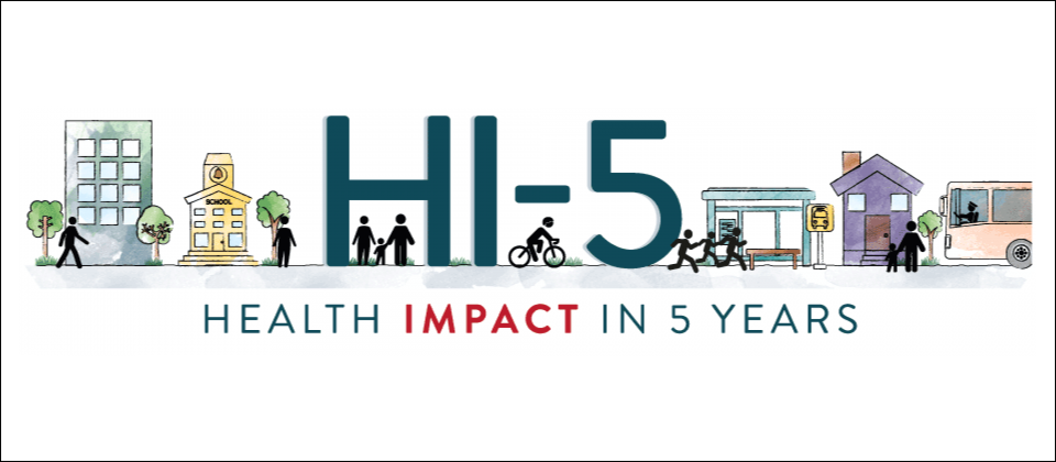
Hi-5: Health Impact in 5 Years
Story -
Original
Brought to you by Community Commons
Published on 10/26/2017
WIN Pacesetter Story: Greenville, South Carolina
Story -
Original
Brought to you by Community Commons
Shifting streets COVID-19 mobility data: Findings from a global dataset and a research agenda for transport planning and policy
Resource - Report
Still/Lyell Freeway Channel in Excelsior District
Resource - Assessment
Brought to you by Health Impact Project
What Makes a Neighborhood Walkable
Resource - Website/webpage
TOD Database
Tool - Data/mapping Tool
How Walkable Is Your Community?
Resource - Guide/handbook
Cities Alive: Toward a Walking World
Resource - Report
COVID Mobility Works
Resource - Website/webpage
Emergency Stabilization & Economic Recovery Recommendations
Resource - Guide/handbook
Brought to you by Smart Growth America
Rethinking Sidewalks and Streets in the Midst of COVID-19
Story - Written
Brought to you by National League of Cities
Elements of a Complete Streets Policy
Resource
Brought to you by Smart Growth America
Filter by Type
(566)
Resource
(80)
Story
(26)
Tool
(23)
Topic
(6)
Dataset
(1)
Datasource
(1)
Metric
Filter by Category
(424)
Assessment
(42)
Written
(35)
CC Original
(22)
Report
(19)
Journal Article
(15)
Guide/ Handbook
(13)
Policy Brief
(12)
Model Policy
(11)
Data/ Mapping Tool
25
26
27
28
29
Added!
Item has been added to your favorites!
View Your Favorites
 Original
Original
Original